Credits and privacy
This website uses no stock library. Every photograph of a place was made in Cao Bằng by the people named below and is used under the free licence its author chose.
Photographs
From Wikimedia Commons. Each was made smaller for the web; the licence and the original are linked.
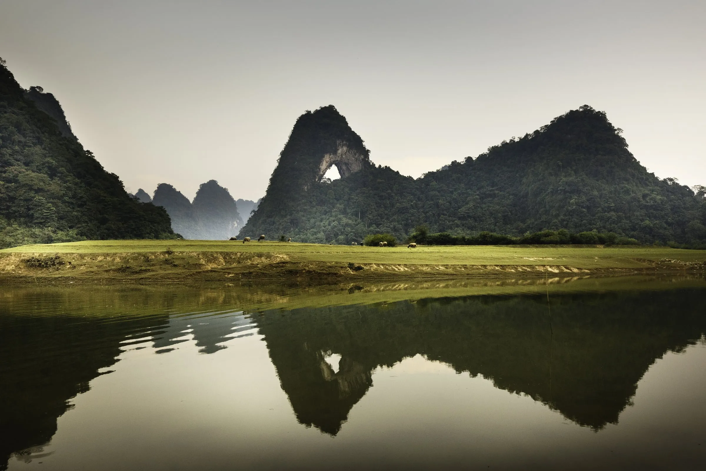
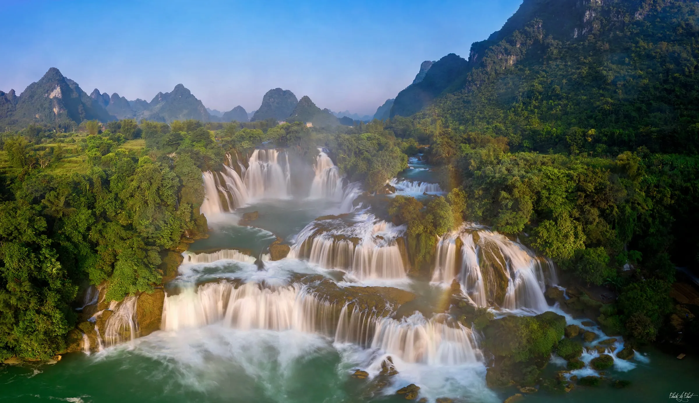
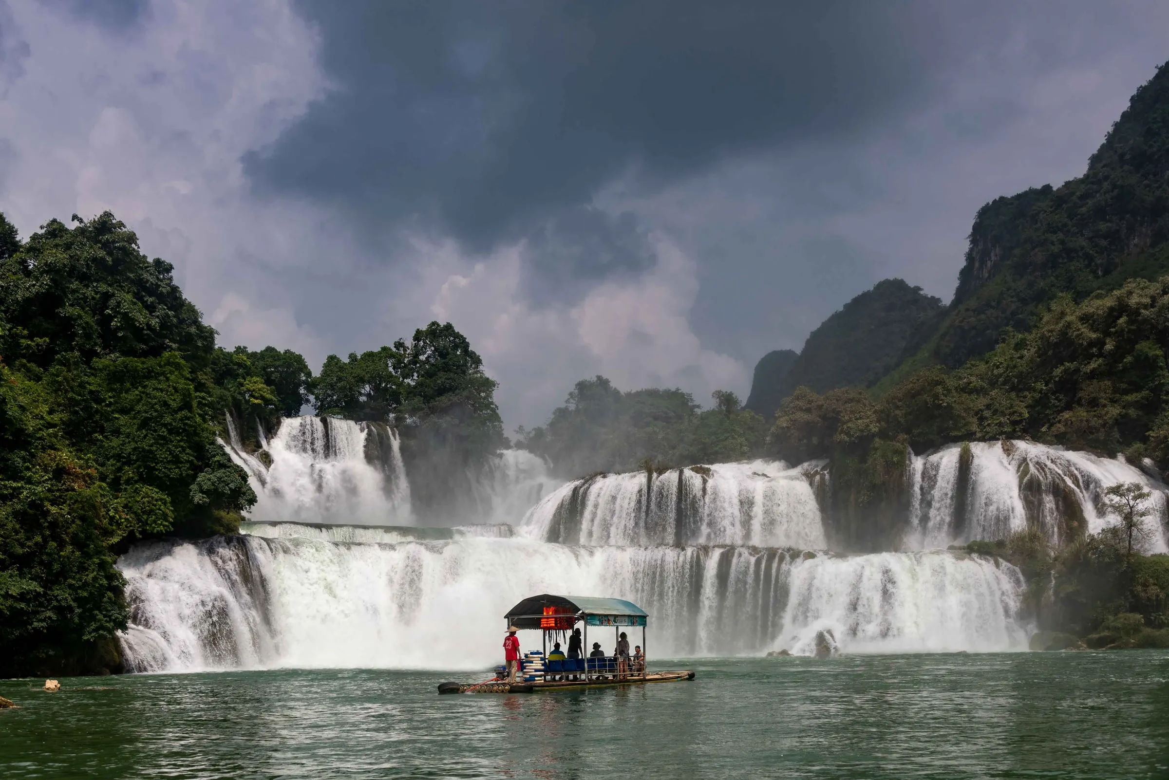
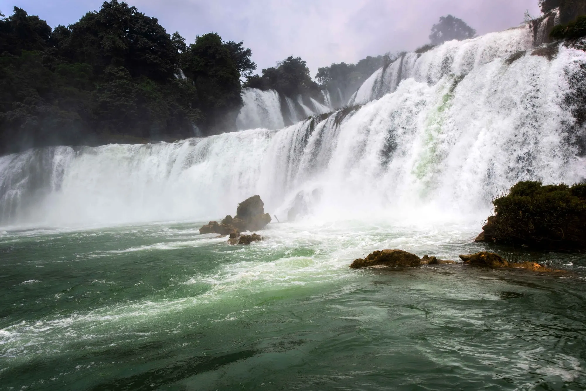
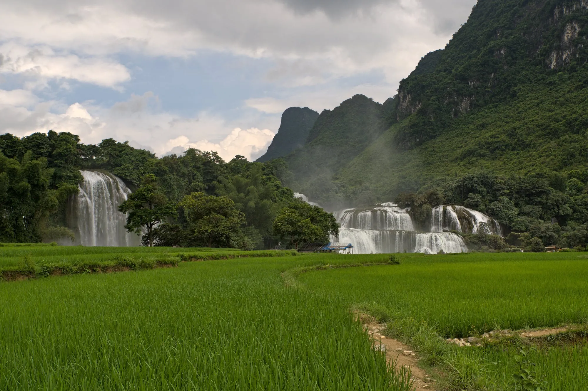
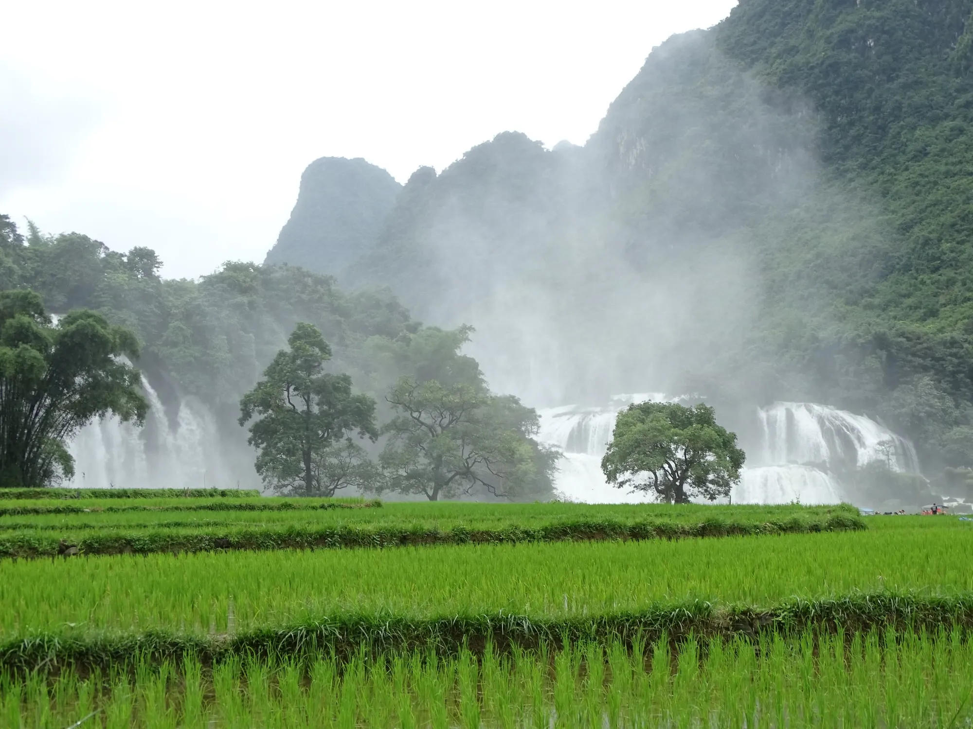
Bản Giốc in the morning mist, seen across the rice
by Adam Jones · CC BY-SA 2.0
made smaller · original
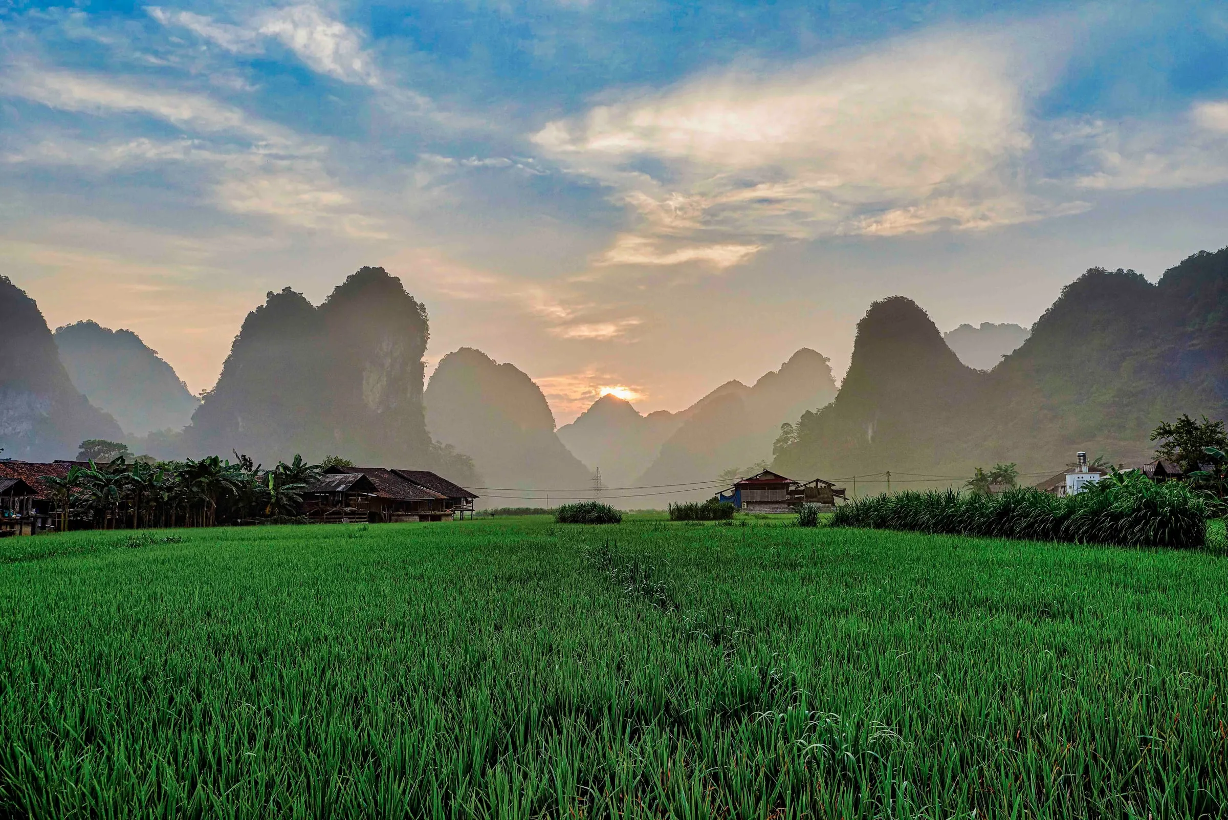
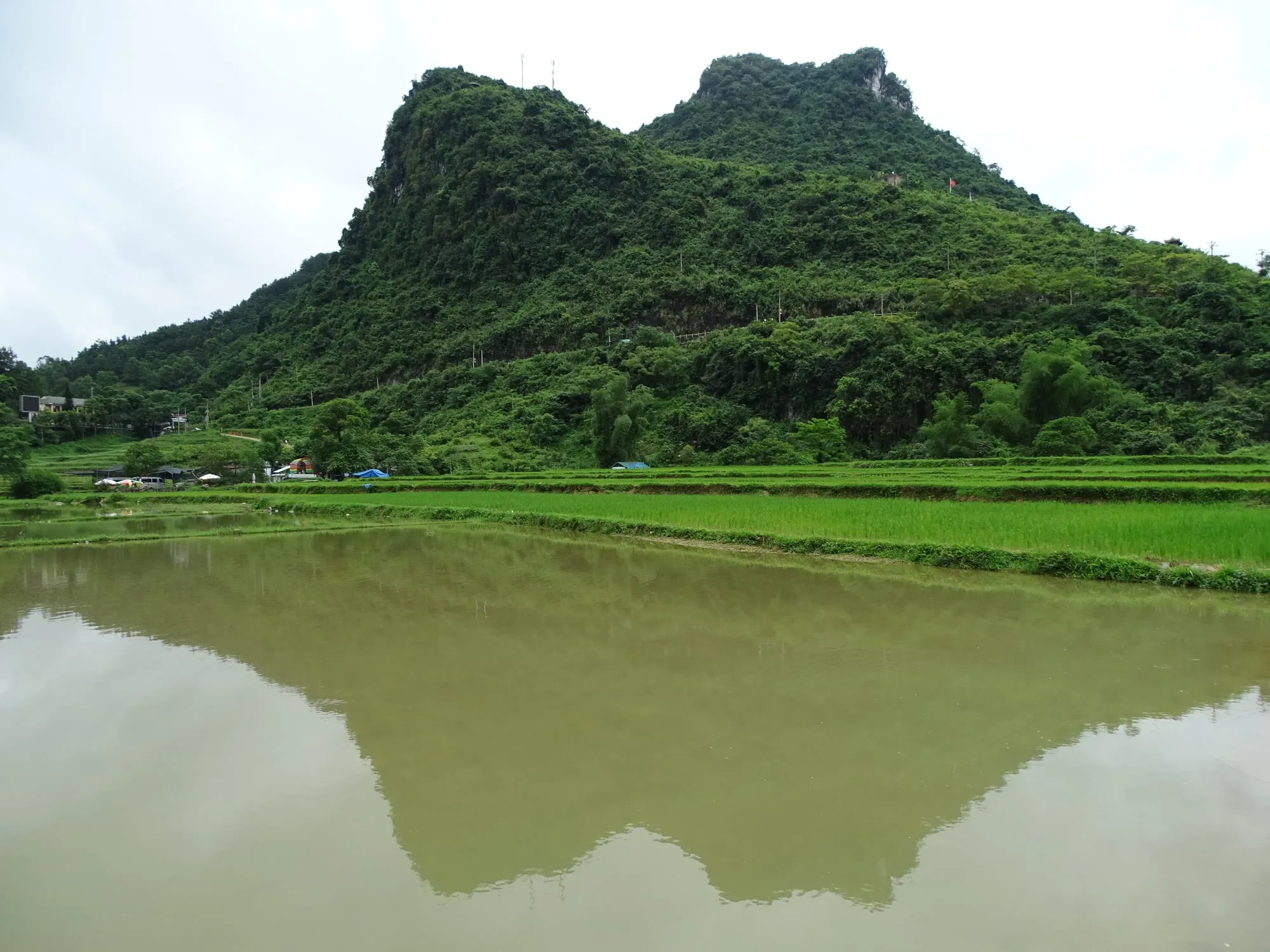
Limestone towers above the rice at Phia Thắp, at dusk
by Rod Waddington · CC BY-SA 2.0
made smaller · original
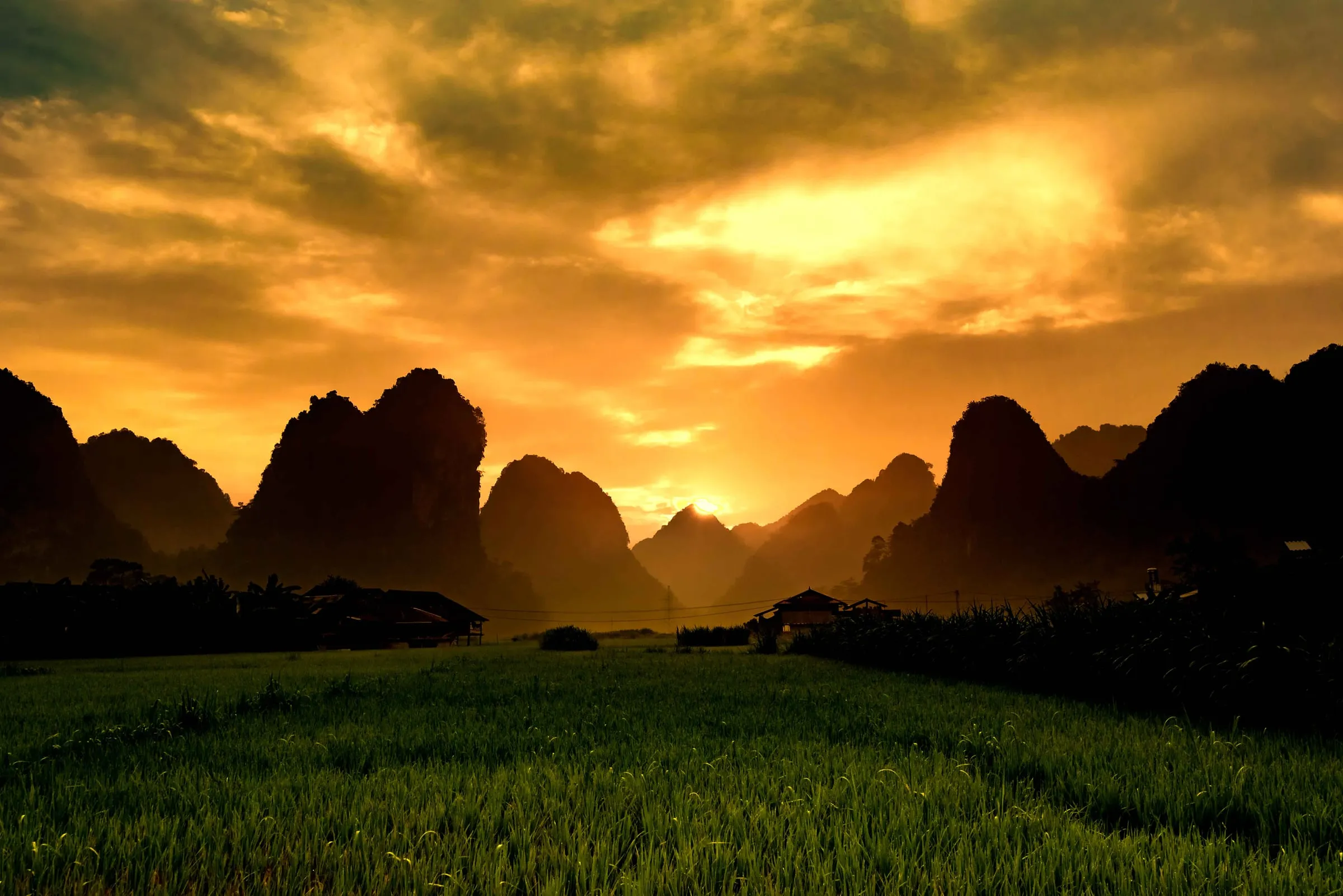
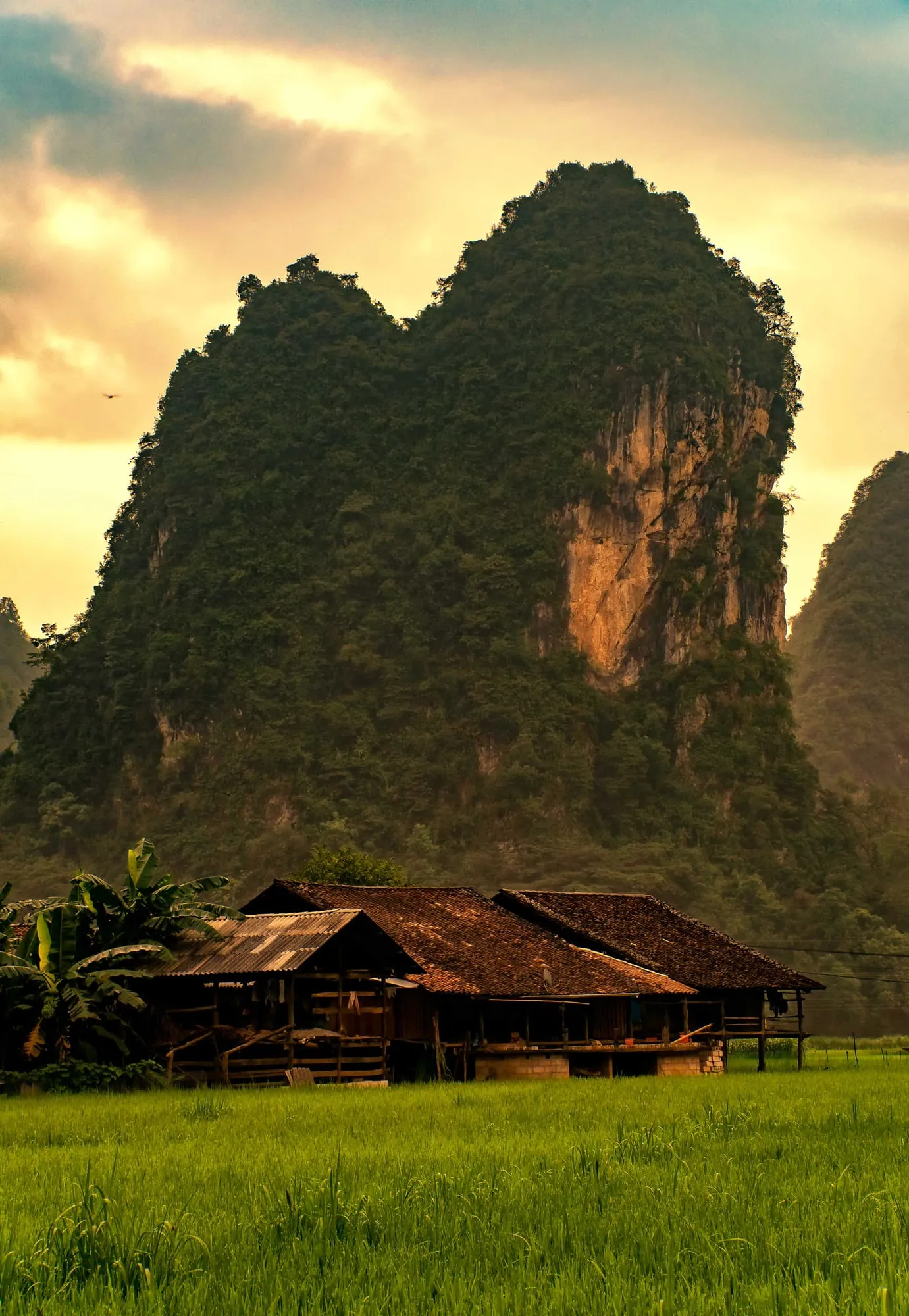
A stilt house under a limestone peak in Phia Thắp
by Rod Waddington · CC BY-SA 2.0
made smaller · original
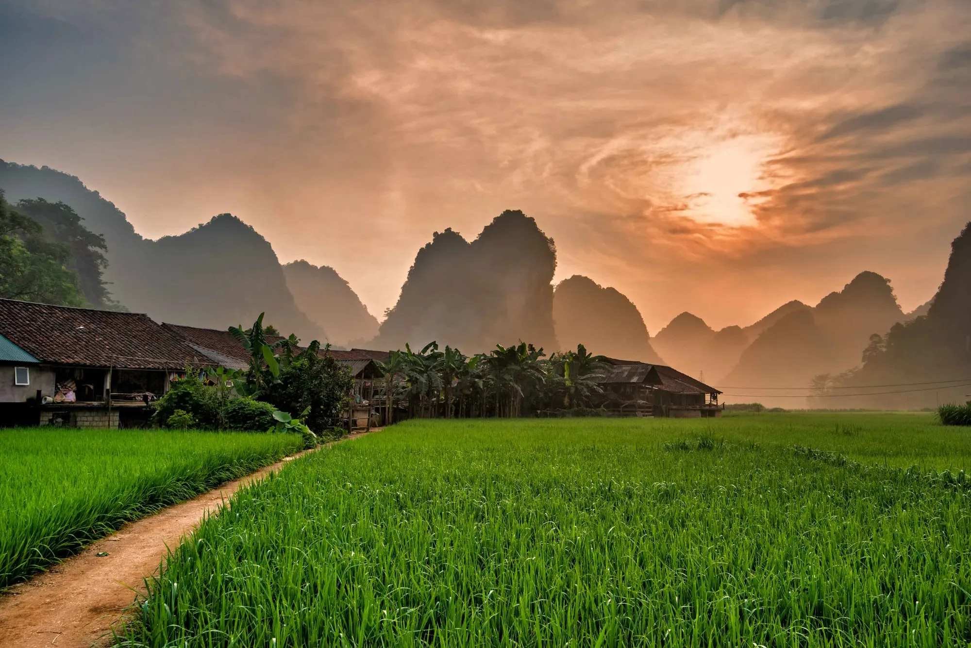
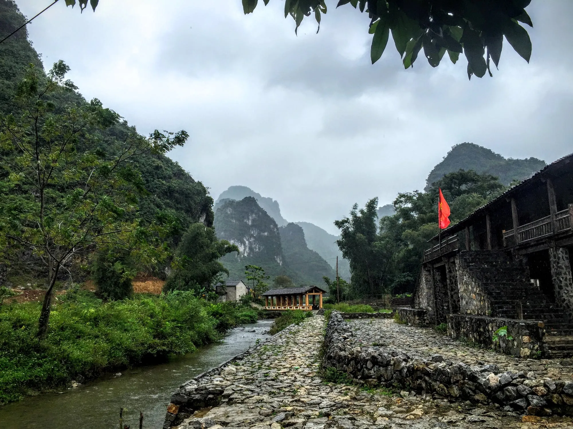
The path through the rice into Phia Thắp village
by Rod Waddington · CC BY-SA 2.0
made smaller · original
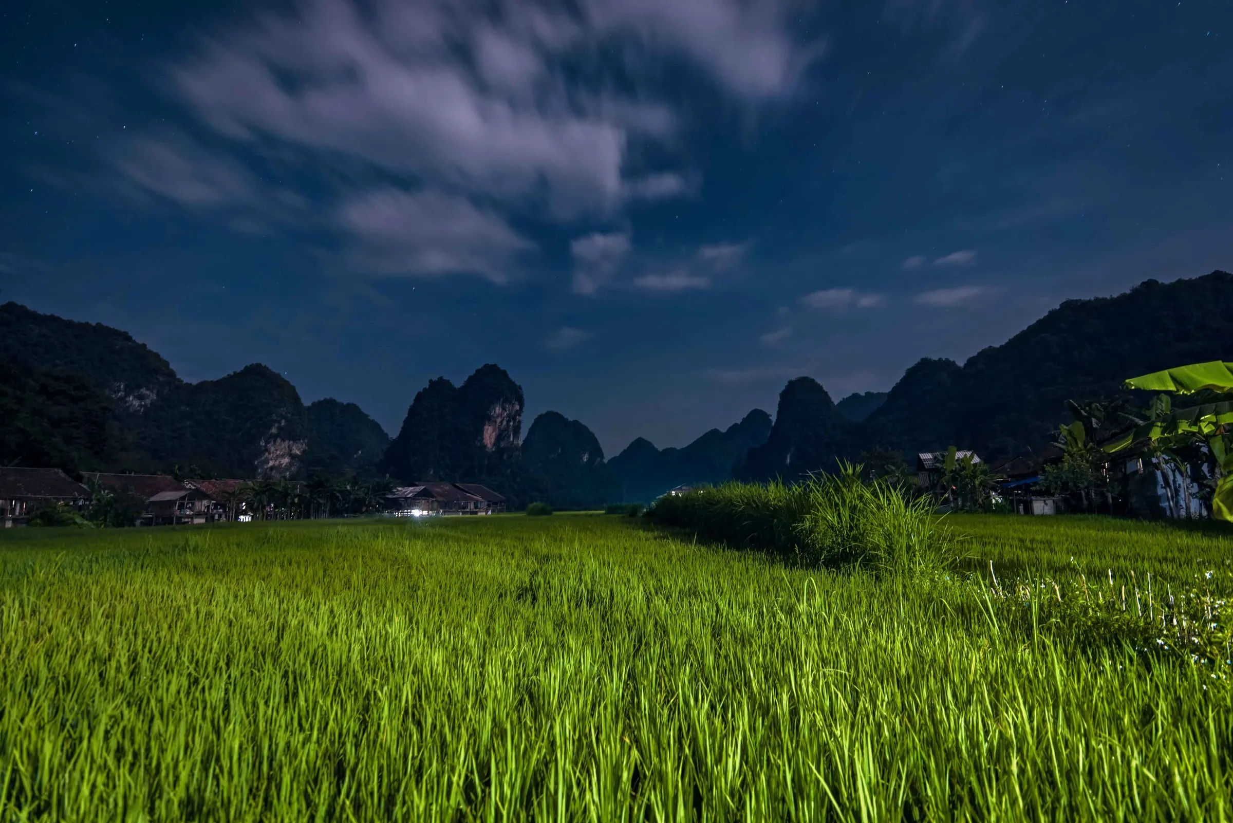
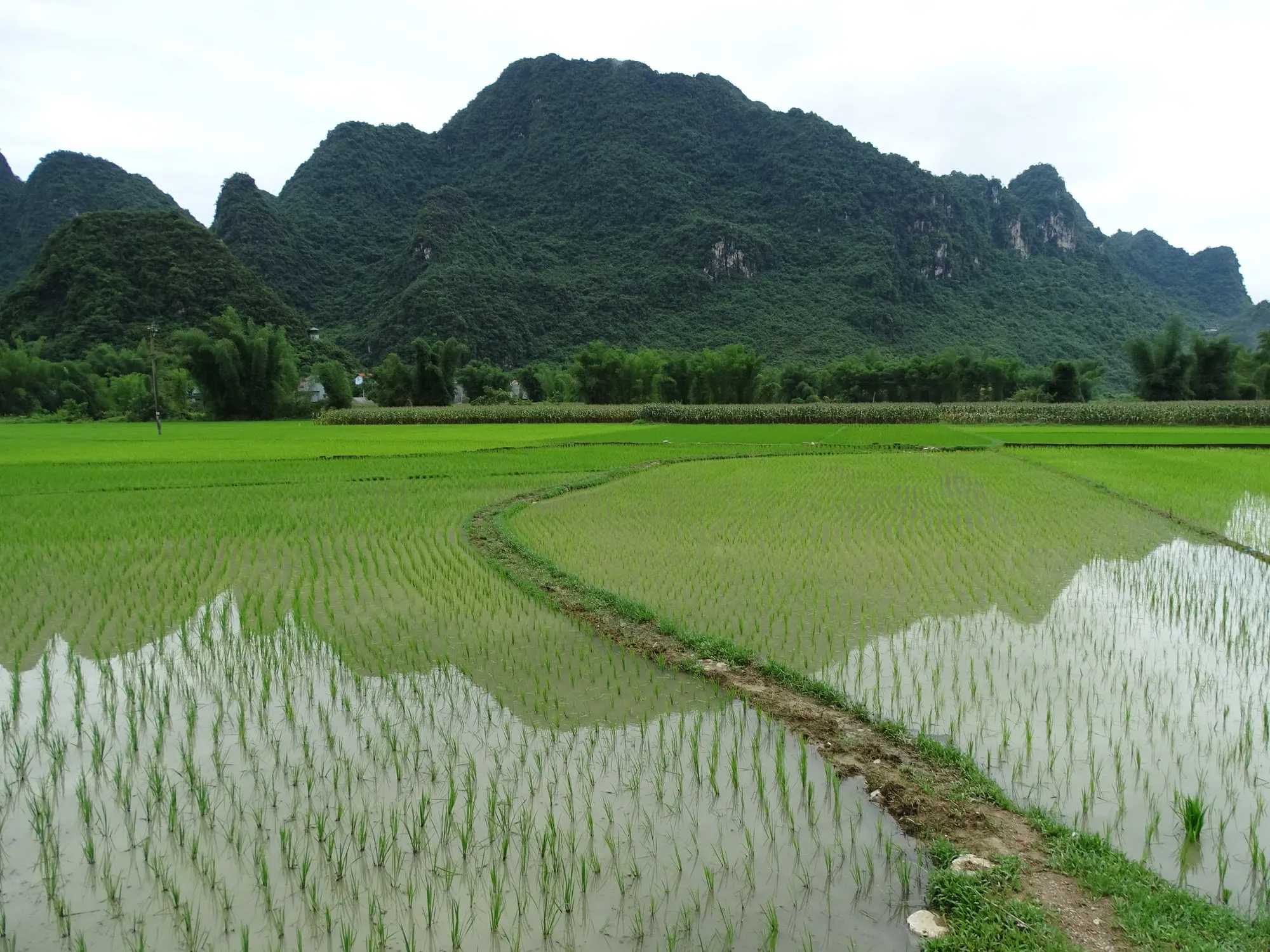
Rice fields and peaks near Phia Thắp at nightfall
by Rod Waddington · CC BY-SA 2.0
made smaller · original
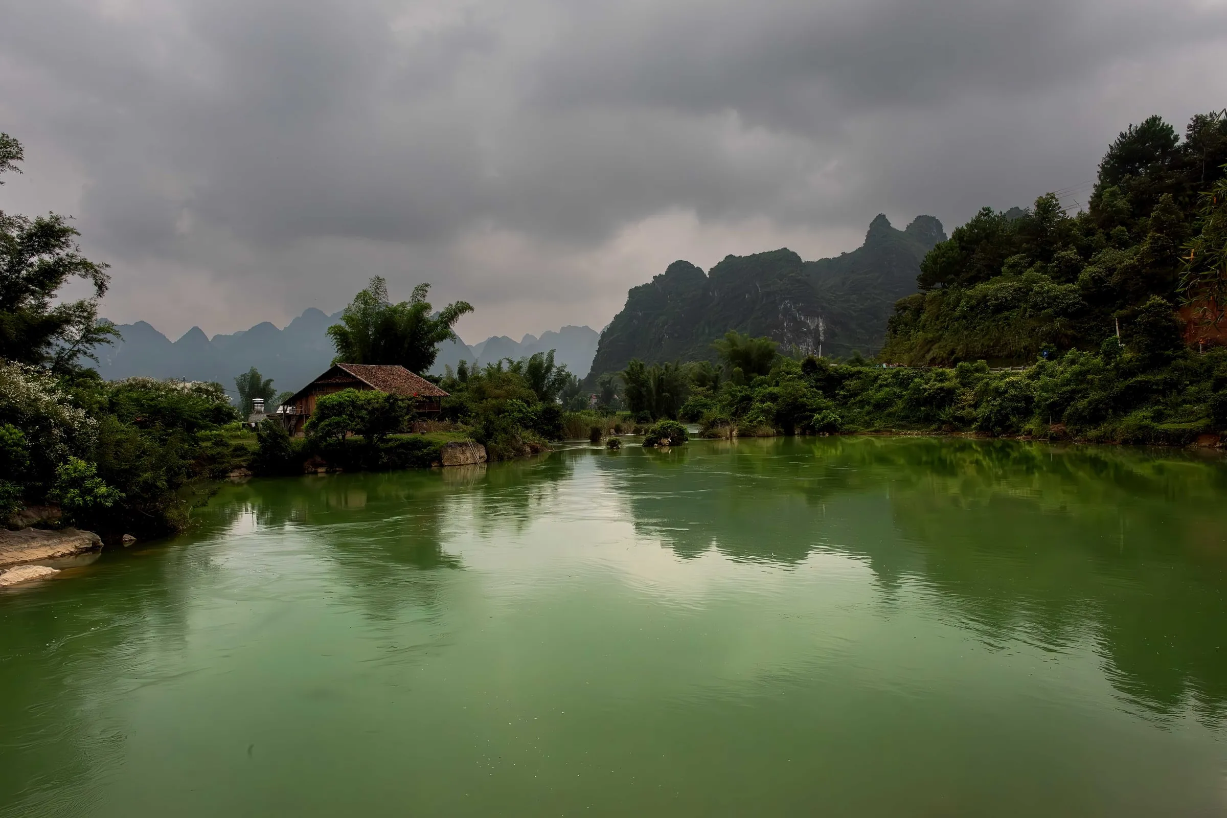
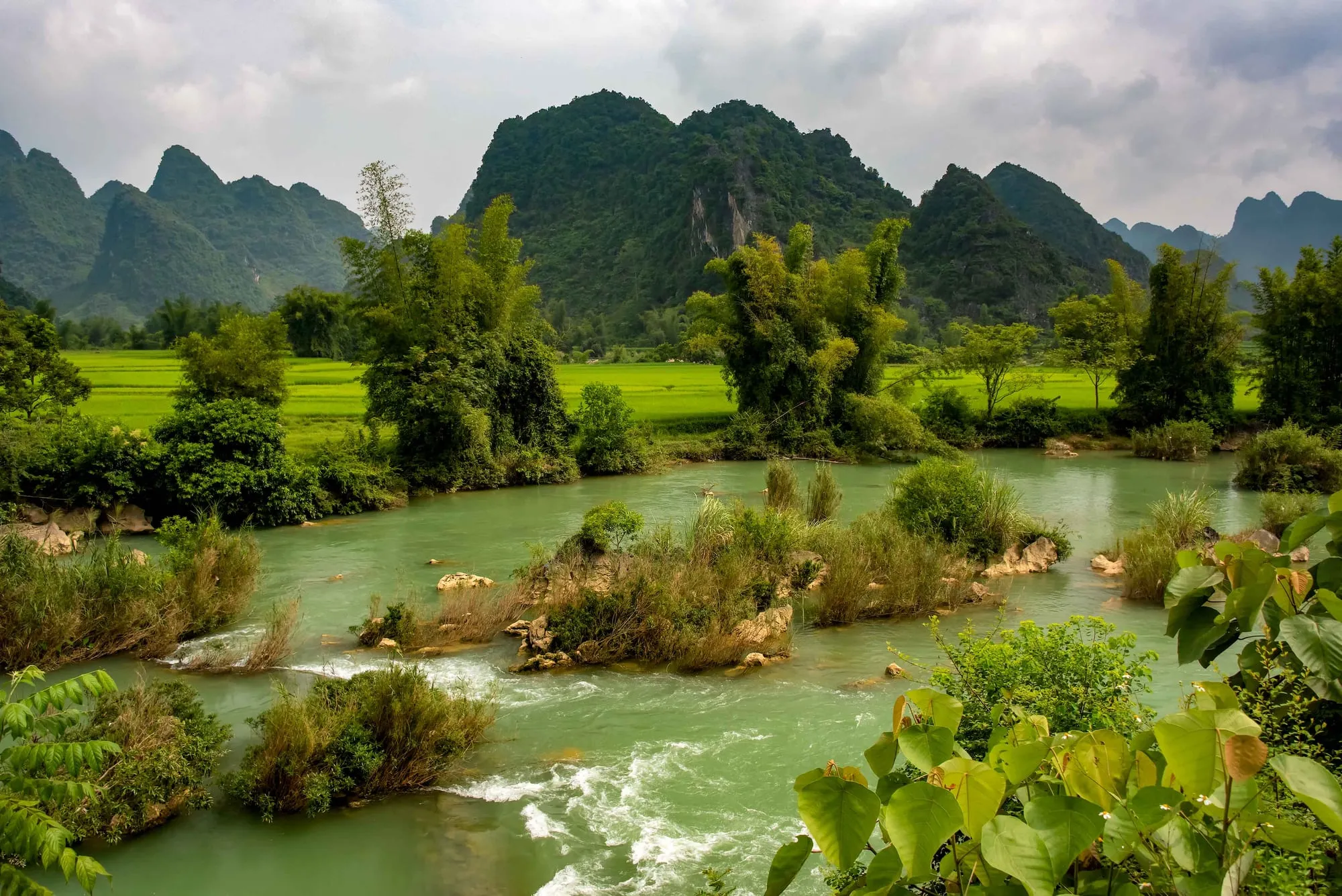
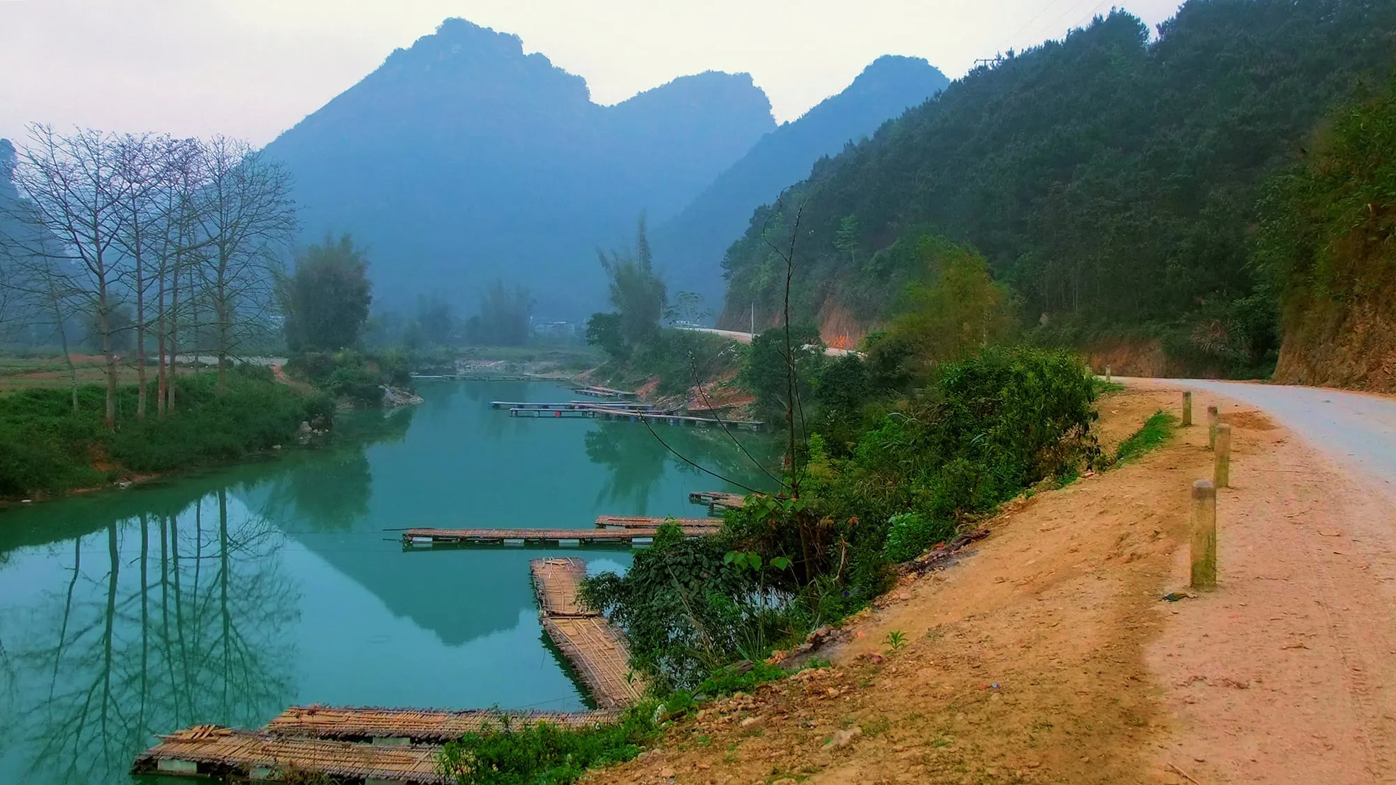
The road beside the jade water of the Quây Sơn river
by Khoitran1957 · CC BY-SA 4.0
made smaller · original
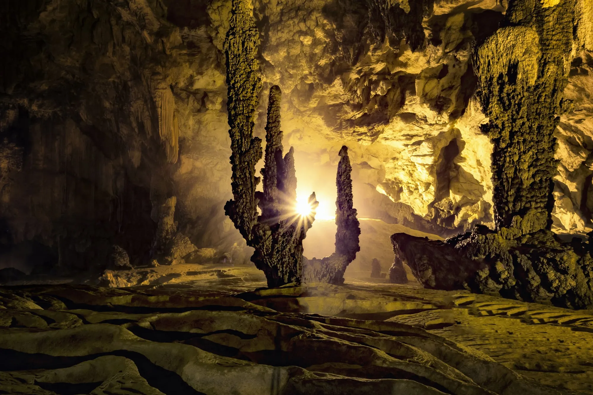
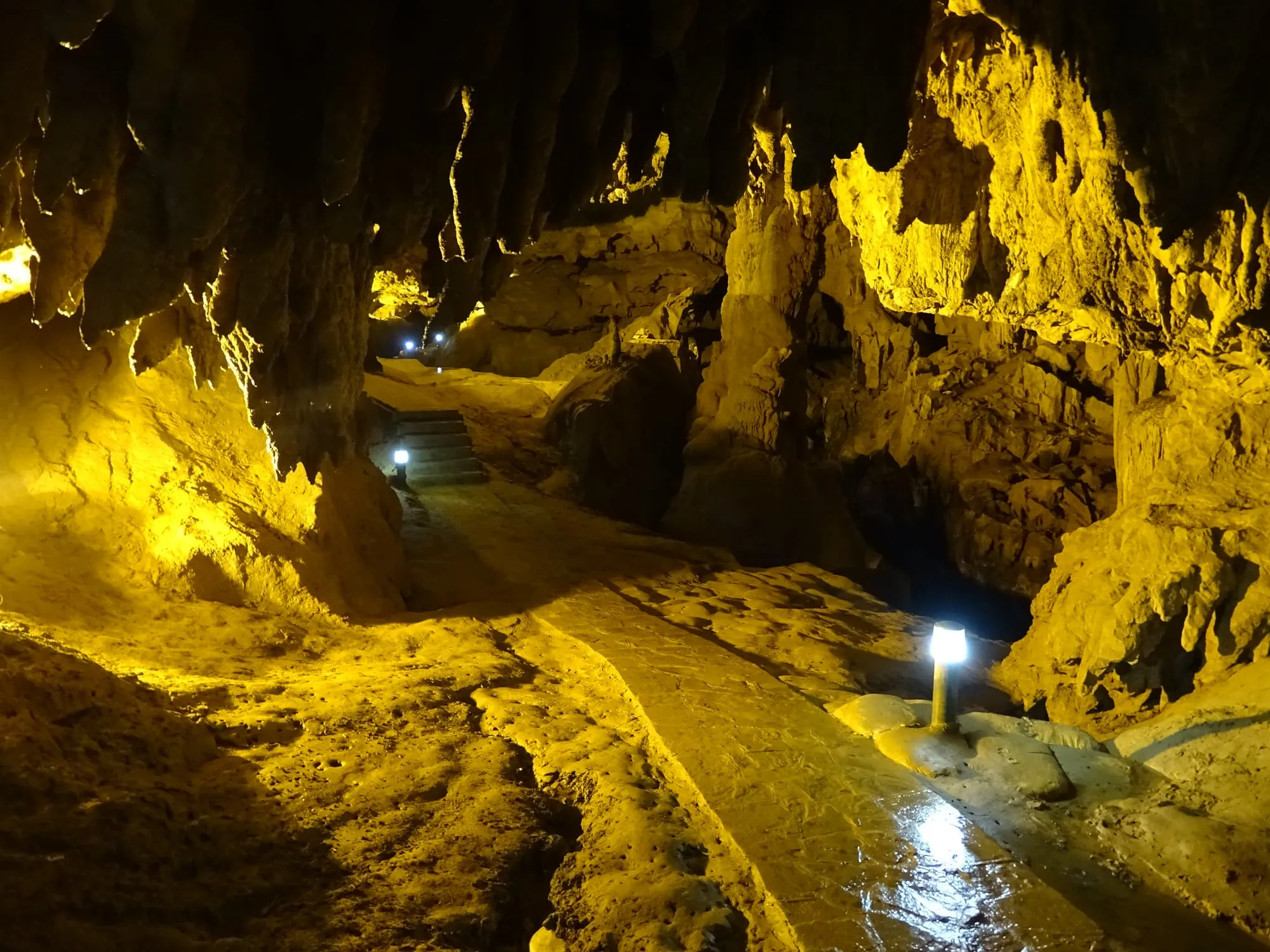
Lit stalagmites inside Ngườm Ngao cave
by Bùi Thụy Đào Nguyên · CC BY-SA 4.0
made smaller · original
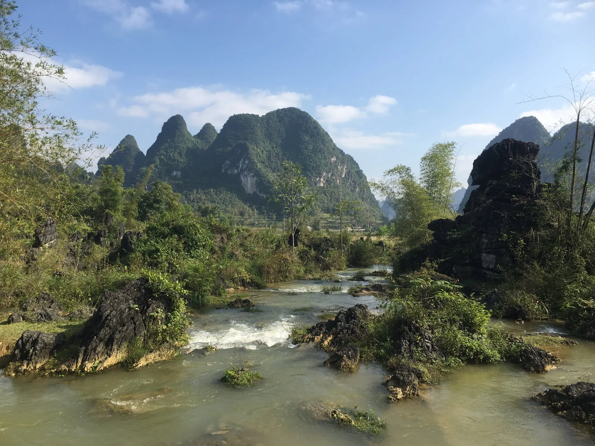
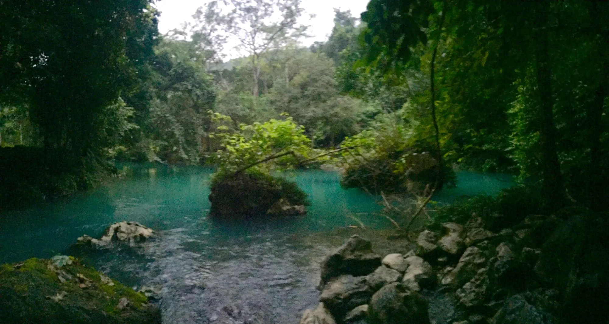
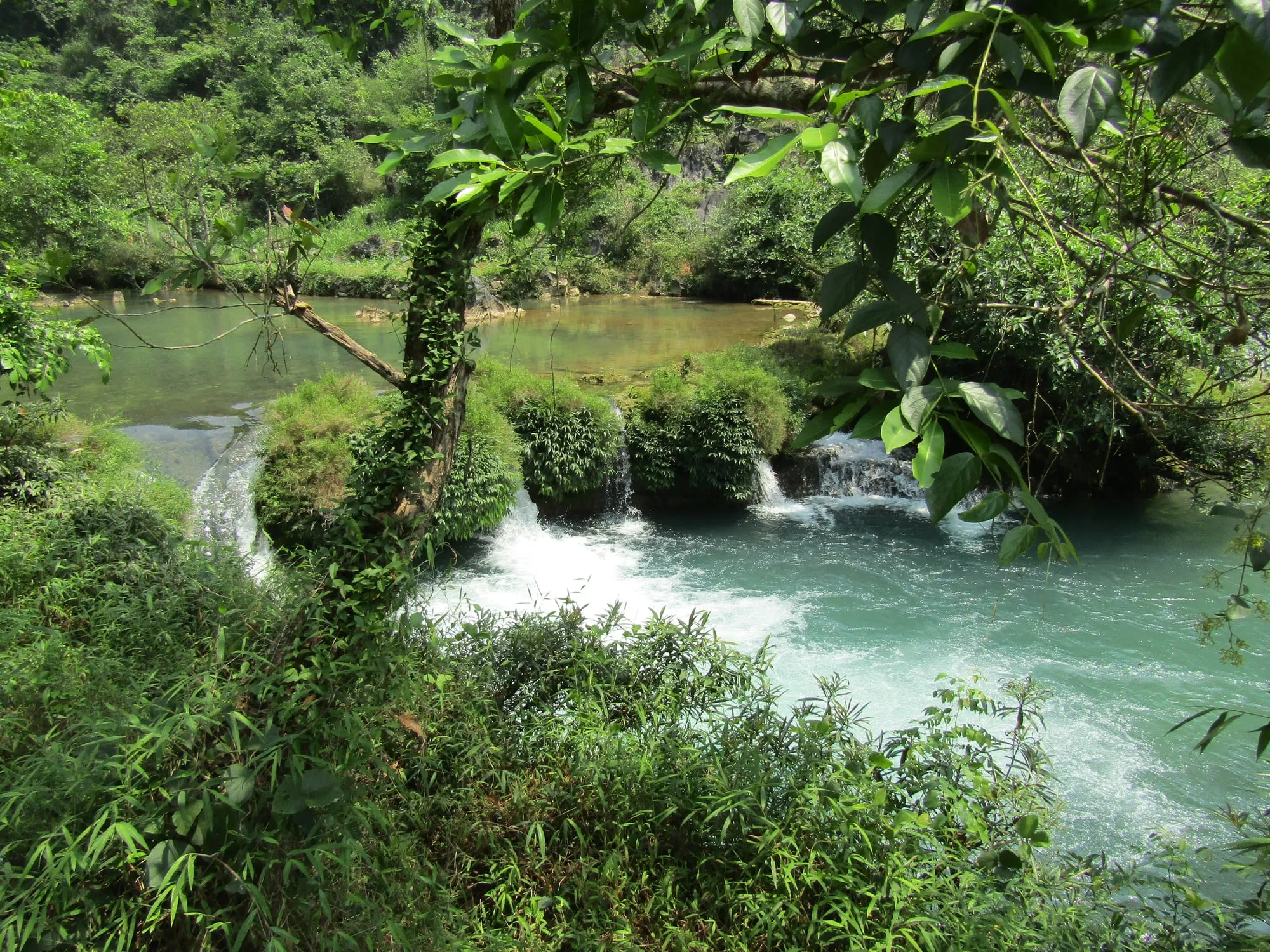
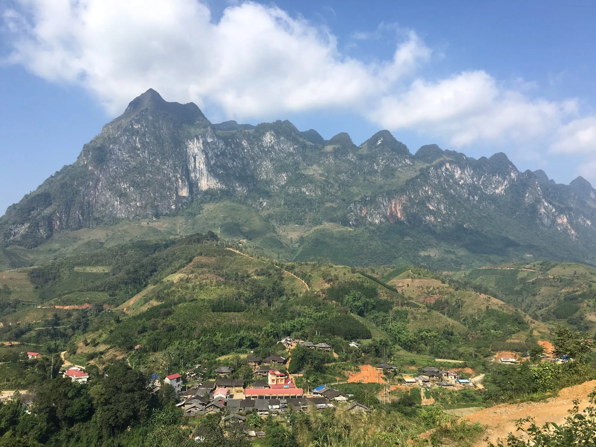
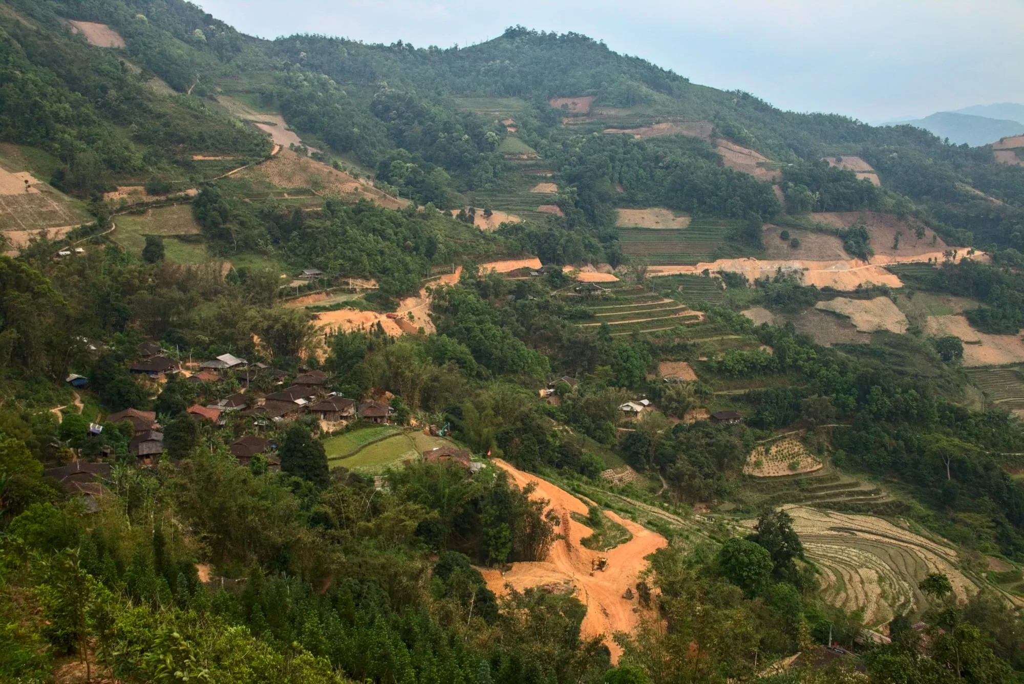
Hamlets on the hillsides of Bảo Lạc district
by Benjamin Smith · CC BY-SA 4.0
made smaller · original
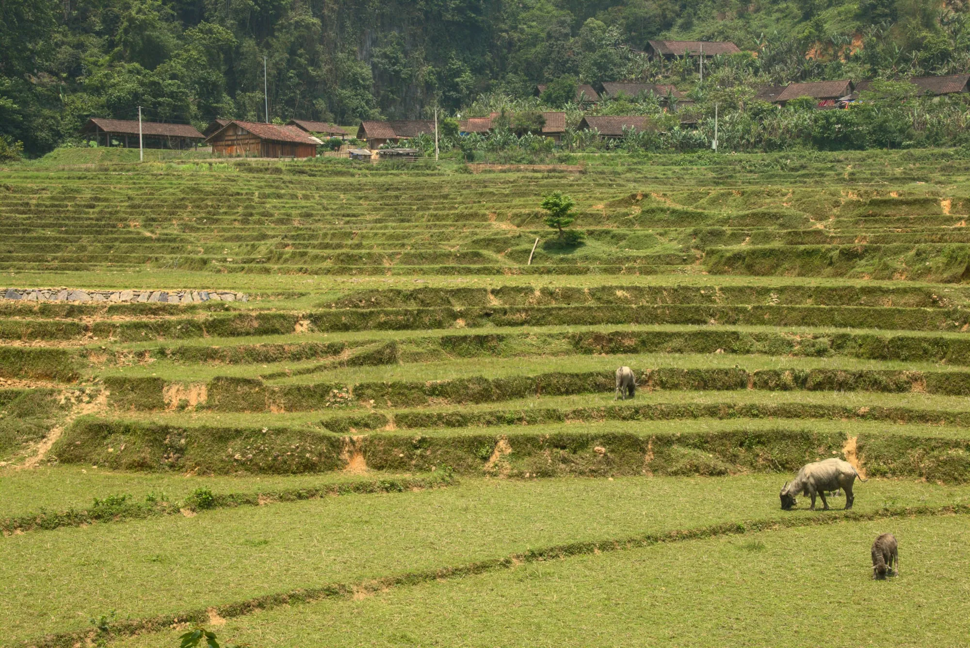
Terraced fields with grazing buffalo in Nguyên Bình district
by Benjamin Smith · CC BY-SA 4.0
made smaller · original
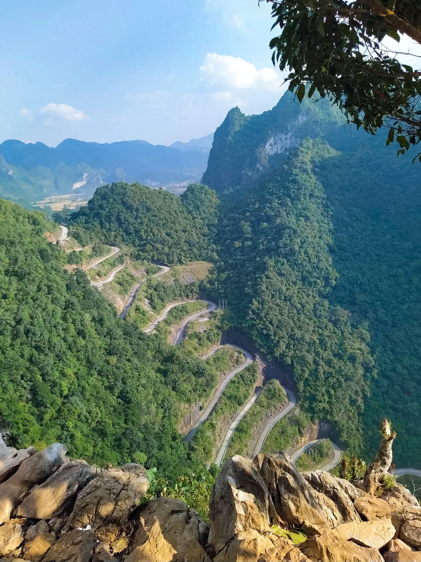
The fifteen hairpins of Khau Cốc Chà pass, seen from the viewpoint
by NKSTTSSHNVN · CC BY-SA 4.0
unchanged · original
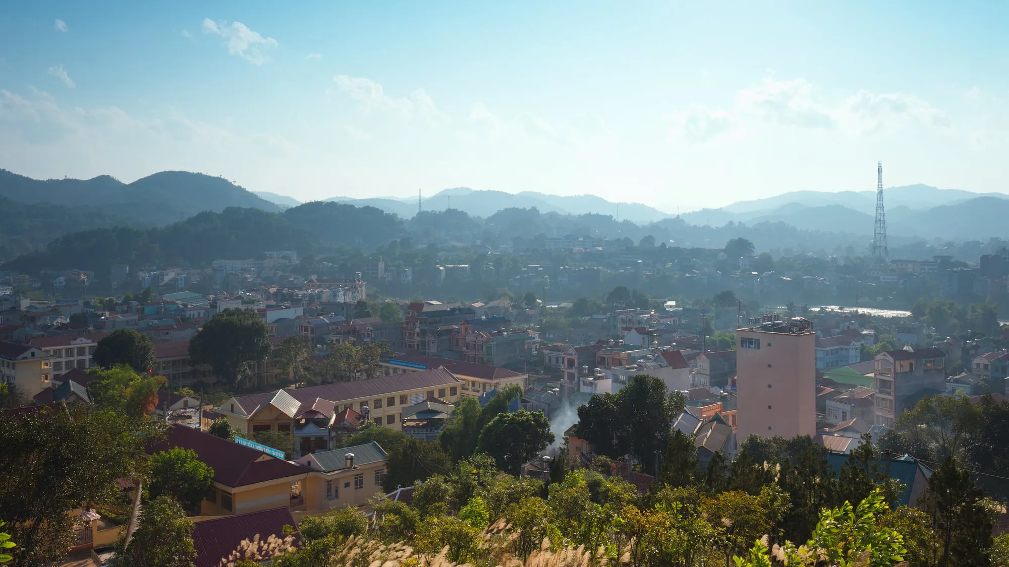
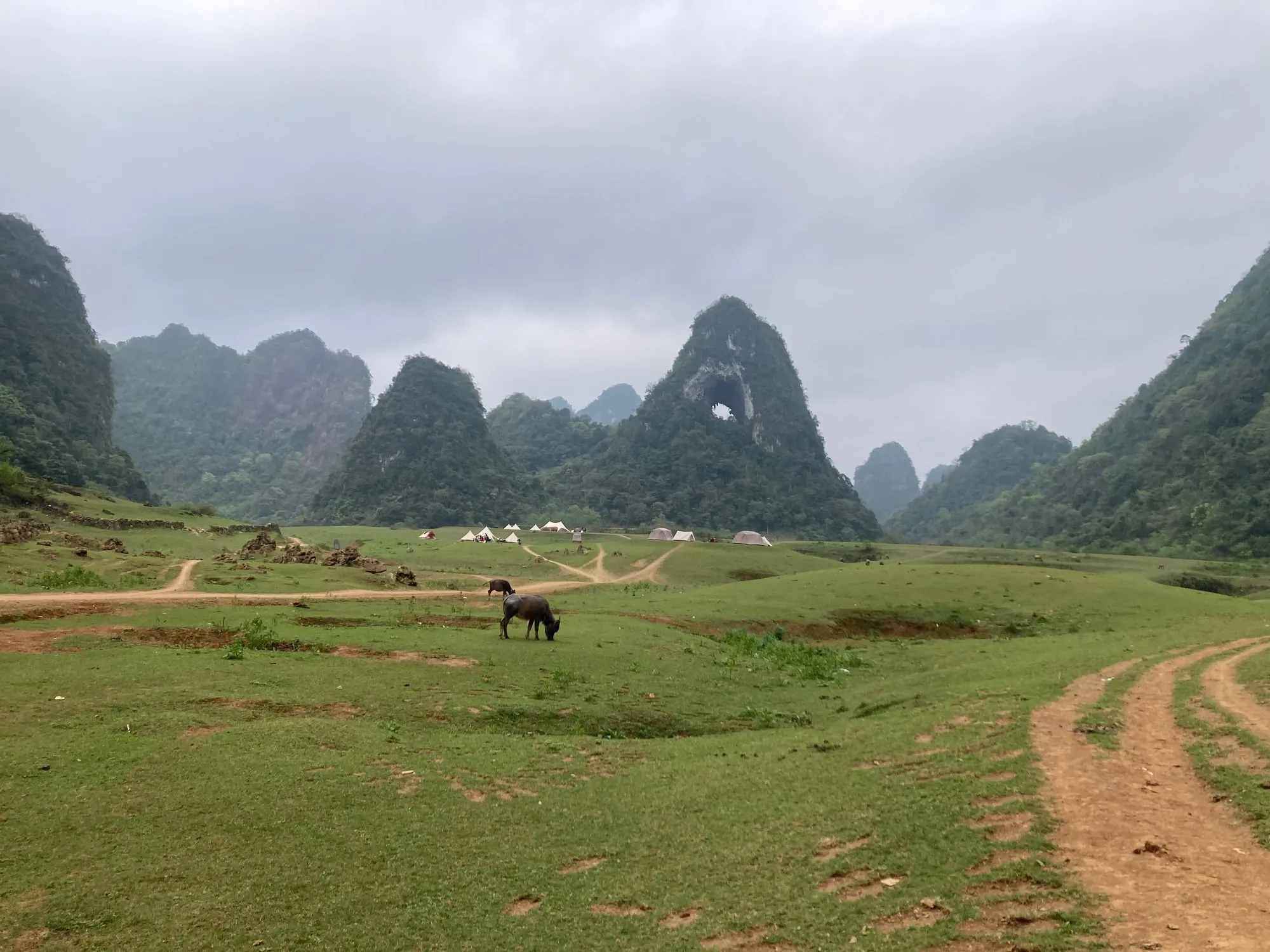
A horse grazing in the meadow below the God's Eye mountain
by Fogylands · CC BY-SA 4.0
made smaller · original


Motorbikes
Photographs of the same models as ours, from Wikimedia Commons and Flickr, each cut out from its background. They are not pictures of our own motorbikes.


Maps
The night map on the home page and the daylight route maps were drawn for this site from open data.
Elevation: NASA Shuttle Radar Topography Mission (SRTM), one arc-second, public domain.
Roads and place positions: © OpenStreetMap contributors, Open Database Licence. Routes computed with the Open Source Routing Machine (OSRM).
Typefaces
Fraunces and Be Vietnam Pro, both under the SIL Open Font Licence.
Your details
When you send a request we store your name, the contact you gave, what you asked for and the language of the page. We use them to answer you and to prepare your booking, and for nothing else.
This website sets one cookie when you choose a language, to remember it, and notes in your browser that it has asked its one question on leaving, so as not to ask again. It uses no advertising or tracking cookies.
To have your request deleted, write to us and we will do it.